| Jongsong Peak | |
|---|---|
     | |
| Highest point | |
| Elevation | 7,462 m (24,482 ft) Ranked 57th |
| Prominence | 1,256 m (4,121 ft) |
| Coordinates | 27°53′N 88°08′E / 27.883°N 88.133°E / 27.883; 88.133 |
| Geography | |
| Location | China–India–Nepal tripoint |
| Parent range | Himalayas |
| Climbing | |
| First ascent | 2 June 1930 by Bericht Hörlin and Erwin Schneider |
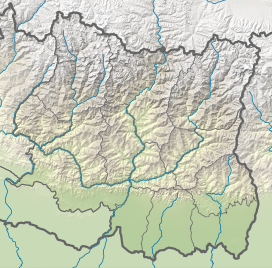
Jongsong Peak is a mountain in the Janak section of the Himalayas. At 7,462 metres (24,482 ft) it is the 57th highest peak in the world, although it is dominated by the 3rd highest, Kangchenjunga, 20 km (12 mi) to the south. Jongsong's summit is on tripoint of India, Nepal and China.
History
From its first ascent in 1930 by members of a German expedition led by Gunther Dyhrenfurth until the first ascent of Kamet on 21 June 1931, Jongsong was the highest climbed peak in the world. The first ascent team of Jongsong Peak had included several members who were also members of the International mountaineering organisation Himalayan Club.
On 30 September 2012, a team from the Kolkata section of the Himalayan Club (Pradeep Sahoo (Leader) with Ang Dorji Sherpa and Phurba Sherpa), ascended the Jongsong peak's east summit (named Domo by Dyhrenfurth) on a new route via the eastern ridge of the Jongsong peak from a col between the Jongsong massif and an adjoining peak called Dome Kang. The previous day, another team from the same expedition scaled Dome Kang (Rajib Mondal and Dawa Sherpa) from the common col along its east face (New route first ascent / second ascent overall). They had approached the mountains from the Jongsong glacier, Sikkim.
References
- "Jongsong Peak, China/India/Nepal". Peakbagger.com. Retrieved 8 March 2008.
- Carter, H. Adams (1985). "Classification of the Himalaya" (PDF). American Alpine Journal. 27 (5). American Alpine Club: 115. Retrieved 18 May 2011.
- "MSN Encarta map". Archived from the original on 5 May 2009. Retrieved 3 June 2008.
- "Kangchenjunga". SummitPost.org. Retrieved 3 June 2008. The team abandoned its attempt on Kangchenjunga to make first ascents of Jongsong (24,334'), Nepal Peak (23,560') and Ramthang (23,310) among others.