| This article needs additional citations for verification. Please help improve this article by adding citations to reliable sources. Unsourced material may be challenged and removed. Find sources: "Craigie Burn Nature Reserve" – news · newspapers · books · scholar · JSTOR (March 2023) (Learn how and when to remove this message) |
| Craigie Burn Nature Reserve | |
|---|---|
 | |
| Location | KwaZulu-Natal, South Africa |
| Nearest city | Ulundi |
| Coordinates | 29°10′37″S 30°18′8″E / 29.17694°S 30.30222°E / -29.17694; 30.30222 |
| Area | 3.32 km |
| Established | 1078 |
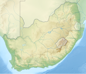
Craigie Burn Nature Reserve, also known as Craigie Burn Dam Nature Reserve is located on the road between Mooi River and Greytown, in the KwaZulu-Natal, province of South Africa.
Wildlife
| This section is empty. You can help by adding to it. (July 2010) |
See also
See also: Craigie Burn Dam and Protected areas of South AfricaReferences
- "Craigie Burn Public Resort Nature Reserve". Protected Planet. Retrieved 2023-02-11.
This KwaZulu-Natal location article is a stub. You can help Misplaced Pages by expanding it. |
This Africa protected areas related article is a stub. You can help Misplaced Pages by expanding it. |