| Devils Thumb | |
|---|---|
| Manjal Jimalji | |
 | |
| Highest point | |
| Elevation | 1,065 m (3,494 ft) |
| Coordinates | 16°23′10″S 145°17′30″E / 16.3862°S 145.2916°E / -16.3862; 145.2916 |
| Geography | |
| Location | Mossman, Queensland, Australia |
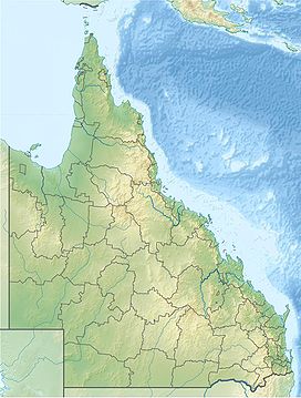
Devils Thumb, also known as Manjal Jimalji by the Eastern Kuku Yalanji, is a mountain located near Mossman within the Daintree National Park, Far North Queensland, Australia. Devils Thumb rises 1,065 metres (3,494 ft) above sea level. The Manjal Jamalji trail is a difficult 10.6-kilometre return trail to the peak which takes approximately eight hours.
See also
References
- ^ "QTOPO". Retrieved 7 January 2020.
- "About Manjal Jimalji trail". Retrieved 7 January 2020.
- "Devils Thumb (Manjal Jimalji) Trail". Queensland Government. Retrieved 23 July 2020.
- Baehr, Barbara (2002). "Tropasteron Gen. Nov. of the Asteron Complex (Araneae: Zodariidae) from Tropical Queensland". Memoirs of the Queensland Museum. 49 (1): 43. Retrieved 23 July 2020.