| This article needs additional citations for verification. Please help improve this article by adding citations to reliable sources. Unsourced material may be challenged and removed. Find sources: "Dzhurich" – news · newspapers · books · scholar · JSTOR (January 2012) (Learn how and when to remove this message) |
| Dzhurich | |
|---|---|
 | |
| Location | |
| Country | Russia |
| Physical characteristics | |
| Source | |
| • location | Cherdynsky District |
| Mouth | South Keltma |
| • coordinates | 60°52′03″N 55°17′49″E / 60.8675°N 55.2969°E / 60.8675; 55.2969 |
| Length | 64 km (40 mi) |
| Basin size | 358 km (138 sq mi) |
| Basin features | |
| Progression | South Keltma→ Kama→ Volga→ Caspian Sea |
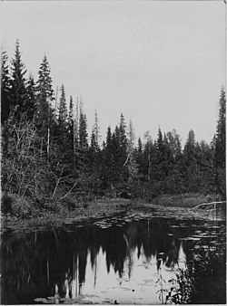
The Dzhurich (Russian: Джурич) is a river in Perm Krai, Russia, a left tributary of the South Keltma. It is 64 kilometres (40 mi) long with a drainage basin of 358 square kilometres (138 sq mi). It starts in the extreme north of Perm Krai, in Cherdynsky District, near the border with the Komi Republic. Many swamps are along the river, which has some small tributaries. It was connected by the Northern Catherine Canal with the North Keltma, but the canal functioned for only 16 years. The canal is 20 kilometres (12 mi) long.
References
- «Река Джурич», Russian State Water Registry
- "Dzhurich in encyclopedia of Perm Krai". Archived from the original on 2015-12-08. Retrieved 2020-04-22.
This Perm Krai location article is a stub. You can help Misplaced Pages by expanding it. |
This article related to a river in Russia is a stub. You can help Misplaced Pages by expanding it. |