| Hargrave River | |
|---|---|
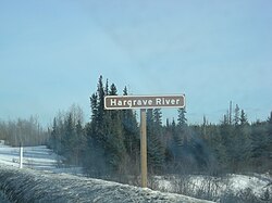
 Sign for Hargrave River Sign for Hargrave River | |
 | |
| Location | |
| Country | Canada |
| Province | Manitoba |
| Region | Northern |
| Physical characteristics | |
| Source | Hargrave Lake |
| • coordinates | 54°30′15″N 99°34′46″W / 54.50417°N 99.57944°W / 54.50417; -99.57944 |
| • elevation | 264 m (866 ft) |
| Mouth | Hill Lake on the Minago River |
| • coordinates | 54°24′06″N 98°48′29″W / 54.40167°N 98.80806°W / 54.40167; -98.80806 |
| • elevation | 210 m (690 ft) |
| Basin features | |
| River system | Hudson Bay drainage basin |
The Hargrave River is a river in the Hudson Bay drainage basin in Northern Manitoba, Canada. It flows in a southeasterly direction from its source at Hargrave Lake to Hill Lake on the Minago River, which flows into Cross Lake on the Nelson River.
Tributaries include Fenton Creek and Huzyk Creek, which flow in from the west.
See also
References
- "Hargrave River". Geographical Names Data Base. Natural Resources Canada. Retrieved 2012-06-24.
- ^ "Atlas of Canada Toporama". Retrieved 2015-01-29.
This article related to a river in Manitoba, Canada is a stub. You can help Misplaced Pages by expanding it. |