 | |
| Location | Jerusalem |
|---|---|
| Coordinates | 31°50′48″N 35°12′52″E / 31.846591°N 35.214434°E / 31.846591; 35.214434 |
| PAL | 172/137 |
| Type | ruin |
| Site notes | |
| Condition | In ruins |
Khirbet 'Adash is an archaeological site located in northern Jerusalem.
Geography
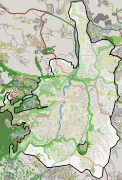
The site is located 5 kilometers north of Jerusalem's city center, near Pisgat Ze'ev. It is situated one kilometer north of Tell el-Ful, an archaeological site commonly identified with the biblical Gibeah, or Giv'at Sha'ul.
Settlement history
Antiquity
The site was inhabited in the Hellenistic and Roman periods.
Several scholars have attempted to link Khirbat 'Adasa with the biblical site of Hadashah, described in Book of Joshua (15:37) as being near Jerusalem.
Some scholars suggest that Khirbat 'Adasa might also be identical with Adasa, the site of the battle of Adasa (c. 160 BCE) during the Maccabean Revolt, where Judas Maccabeus led the Jewish forces against the Seleucid general Nicanor.
Medieval period
A preliminary survey initially suggested the site was abandoned after the Byzantine period. However, excavations show it was resettled at the end of the Byzantine era, and expanded in the 8th and 9th centuries during Early Islamic times.
Several structures, including a residential unit and likely a stable, were built in the village's eastern part in the late seventh or early eighth century and remained in use until the 10th century.
The village was abandoned in the 11th century but was resettled during the Mamluk period.
References
- ^ Avni, Gideon (2014). The Byzantine-Islamic transition in Palestine: an archaeological approach. Oxford studies in Byzantium (1st ed.). Oxford: Oxford University Press. pp. 146–147. ISBN 978-0-19-968433-5.
- ^ Khalaily, Hamoudi; Avissar, Miriam; Sokolov, Helena; Bijovsky, Gabriela (2008). "Khirbat 'Adasa: A Farmstead of the Umayyad and Mamluk Periods in Northern Jerusalem". 'Atiqot / עתיקות. 58: 69*–71*. ISSN 0792-8424.