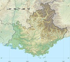
| Minière | |
|---|---|
  | |
| Location | |
| Country | France |
| Physical characteristics | |
| Mouth | |
| • location | Bieugne |
| • coordinates | 44°4′14″N 7°31′20″E / 44.07056°N 7.52222°E / 44.07056; 7.52222 |
| Length | 9 km (6 mi) |
| Basin features | |
| Progression | Bieugne→ Roya→ Ligurian Sea |
The Minière is a short mountain river that flows through the Alpes-Maritimes department of southeastern France. It is 8.7 km (5.4 mi) long. It flows into the Bieugne (a tributary of the Roya) west of Tende, where a dam forms the Lac des Mesches.
References
This Alpes-Maritimes geographical article is a stub. You can help Misplaced Pages by expanding it. |
This article related to a river in France is a stub. You can help Misplaced Pages by expanding it. |