| Murrays Fall | |
|---|---|
 | |
| Location | Essequibo River |
| Coordinates | 03°32′00″N 58°17′00″W / 3.53333°N 58.28333°W / 3.53333; -58.28333 |
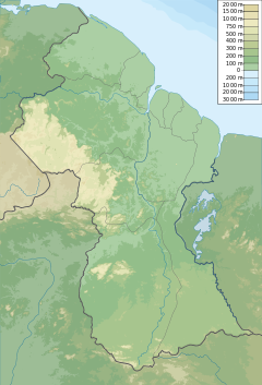
Murrays Fall is a waterfall on the Essequibo River, Guyana, approximately 55 km south of the confluence with the Rupununi River.
It is 3 km. downstream from the Trinity Rapids, and is the first river obstacle on the Essequibo from Apoteri.
References
- "Guyana, Official Standard Names Approved by the United States Board on Geographic Names". 1976.
- Center, United States Defense Mapping Agency Topographic (1976). Guyana, Official Standard Names Approved by the United States Board on Geographic Names. Defense Mapping Agency Topographic Center. p. 77.
- "Natural". www.guyana-tourism.com. Retrieved 2017-10-22.
- Berrangé, Jevan P.; Johnson, Richard L. (1972). "A Guide to the Upper Essequibo River, Guyana". The Geographical Journal. 138 (1): 50. doi:10.2307/1797438. ISSN 0016-7398. JSTOR 1797438.
This Guyana location article is a stub. You can help Misplaced Pages by expanding it. |