| Orustdalen | |
|---|---|
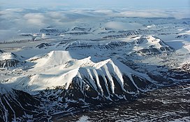
 Orustdalen valley in the background of the Systemafjellet mountain Orustdalen valley in the background of the Systemafjellet mountain | |
  | |
| Length | 5 km (3.1 mi) |
| Width | 2 km (1.2 mi) |
| Geography | |
| Coordinates | 77°56′10″N 13°57′36″E / 77.93611°N 13.96000°E / 77.93611; 13.96000 |
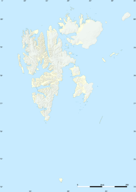
Orustdalen is a valley in Nordenskiöld Land at Spitsbergen, Svalbard. It is named after Swedish island of Orust in the province of Bohuslän. The valley has a length of about five kilometers and a width of two kilometers. It is located south of the mountains of Qvigstadfjellet, Christensenfjella and Systemafjellet.
References
- "Orustdalen (Svalbard)". Norwegian Polar Institute. Retrieved 30 April 2014.
- Arctic Pilot: Sailing directions Svalbard–Jan Mayen. Vol. 7. Stavanger: The Norwegian Hydrographic Service and The Norwegian Polar Institute. 1988. pp. 217–218. ISBN 82-90653-06-9.
This Spitsbergen location article is a stub. You can help Misplaced Pages by expanding it. |