Unincorporated community in Kansas, United States
| Otego, Kansas | |
|---|---|
| Unincorporated community | |
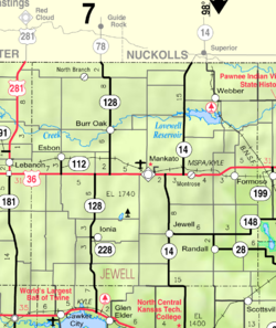
 KDOT map of Jewell County (legend) KDOT map of Jewell County (legend) | |
  | |
| Coordinates: 39°49′38″N 98°20′50″W / 39.82722°N 98.34722°W / 39.82722; -98.34722 | |
| Country | United States |
| State | Kansas |
| County | Jewell |
| Elevation | 1,795 ft (547 m) |
| Time zone | UTC-6 (CST) |
| • Summer (DST) | UTC-5 (CDT) |
| Area code | 785 |
| FIPS code | 20-53500 |
| GNIS ID | 484588 |
Otego is an unincorporated community in Jewell County, Kansas, United States.
History
A post office was opened in Otego in 1887, and remained in operation until it was discontinued in 1954.
Education
The community is served by Rock Hills USD 107 public school district.
References
- ^ "Otego, Kansas", Geographic Names Information System, United States Geological Survey, United States Department of the Interior
- "Kansas Post Offices, 1828-1961, page 2 (archived)". Kansas Historical Society. Retrieved June 11, 2014.
Further reading
See also: List of books about Jewell County, KansasExternal links
| Municipalities and communities of Jewell County, Kansas, United States | ||
|---|---|---|
| County seat: Mankato | ||
| Cities |  | |
| CDP | ||
| Unincorporated communities | ||
| Ghost towns | ||
| Townships | ||