| Porter County Regional Airport | |||||||||||||||
|---|---|---|---|---|---|---|---|---|---|---|---|---|---|---|---|
| Summary | |||||||||||||||
| Airport type | Public | ||||||||||||||
| Owner | Porter County Municipal Airport Authority | ||||||||||||||
| Location | Valparaiso, Indiana | ||||||||||||||
| Opened | November 1950 (1950-11) | ||||||||||||||
| Elevation AMSL | 770 ft / 235 m | ||||||||||||||
| Coordinates | 41°27′14″N 087°00′26″W / 41.45389°N 87.00722°W / 41.45389; -87.00722 | ||||||||||||||
| Website | www.VPZ.org | ||||||||||||||
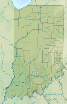
| Map | |||||||||||||||
  | |||||||||||||||
| Runways | |||||||||||||||
| |||||||||||||||
| Statistics | |||||||||||||||
| |||||||||||||||
| Source: Federal Aviation Administration | |||||||||||||||
Porter County Regional Airport (IATA: VPZ, ICAO: KVPZ, FAA LID: VPZ) (formerly Porter County Municipal Airport) is a public use airport one mile (1.6 km) southeast of the central business district of Valparaiso, a city in Porter County, Indiana, United States. The Porter County Municipal Airport Authority owns the airport.
Facilities and aircraft
Porter County Regional Airport covers 718 acres (291 ha) at an elevation of 770 feet (235 m) above mean sea level. It has two asphalt paved runways: 9/27 is 7,001 by 150 feet (2,134 x 46 m) and 18/36 is 4,001 by 75 feet (1,220 x 23 m).
For period ending December 31, 2013, the airport had 69,888 aircraft operations, an average of 191 per day: 97% general aviation, 2% air taxi and 1% military. In January 2017, there were 146 aircraft based at this airport: 128 single-engine, 7 multi-engine, 6 jet, 4 helicopter and 1 ultralight.
See also
References
- "Porter County Regional Airport". AirNav, LLC. Retrieved 2016-10-18.
- ^ FAA Airport Form 5010 for VPZ PDF, effective Jan 5, 2017.
- Porter Co. airport now called ‘regional’
External links
- Porter County Regional Airport, official site
- Aerial photo from Indiana Department of Transportation
- Aerial photo as of 11 April 1998 from USGS The National Map via MSR Maps
- FAA Terminal Procedures for VPZ, effective December 26, 2024
- Resources for this airport:
- FAA airport information for VPZ
- AirNav airport information for KVPZ
- ASN accident history for VPZ
- FlightAware airport information and live flight tracker
- NOAA/NWS weather observations: current, past three days
- SkyVector aeronautical chart, Terminal Procedures