| Raizúa | |
|---|---|
| Hamlet | |
| Potrero Raizúa | |
   | |
| Coordinates: 22°35′37.5238″N 79°50′20.0479″W / 22.593756611°N 79.838902194°W / 22.593756611; -79.838902194 | |
| Country | Cuba |
| Province | Villa Clara |
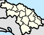
| Municipality | Encrucijada |
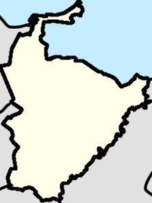
| Ward | Constancia |
| Population | |
| • Total | 78 |
Raizúa is a hamlet in Encrucijada, Cuba. It is located east of Constancia and west of Paso Real. Raizua has a lot of caballería called Micaela.
Geography
Raizua's northern border is the Luis Perez farm and the east border is the Jose Perez Vergara farm.
Education
The settlements of Raizua, Paso Real, and Pavon have 3 Escuela Mixta (Mixed Schools), which educate both boys and girls. The one in Raizua is called La Escuela de Raizua.
History
Raizua was a part of the District of Calabazar and was formerly known as Potrero Raizúa.
Under general Máximo Gómez in the Ten Years' War during a battle in Raizua the train from Sagua La Grande to Raizua was attacked by Luis Morejón, in which he got injured and his assistant Vega was killed.
On June 23, 1899, the Province of Santa Clara appointed a sworn guard to guard Raizúa, and many more settlements in the province.
References
- "Facultad De Ciencias Sociales Carrera De Estudios Socioculturales". Docslib. Retrieved 2023-05-16.
- Cuba (1907). Gaceta oficial de la República de Cuba (in Spanish).
- Pública, Cuba Secretaría de Instrucción (1906). La Instrucciön primaria. Revista quincenal (in Spanish).
- ^ La Instrucción primaria: revista quincenal (in Spanish). 1906.
- ^ United States. War Dept (1861). Annual reports ... University of Michigan. Washington, D.C. Government Printing Office. p. 130.
- Boza, Bernabé (2001). Mi diario de la guerra: desde Baire hasta la intervención americana (in Spanish). Editorial de Ciencias Sociales. ISBN 978-959-06-0468-3.
This Cuban location article is a stub. You can help Misplaced Pages by expanding it. |