| Stary Shagirt Старый Шагирт | |
|---|---|
| Selo | |
  | |
| Coordinates: 56°27′N 55°12′E / 56.450°N 55.200°E / 56.450; 55.200 | |
| Country | Russia |
| Region | Perm Krai |
| District | Kuyedinsky District |
| Time zone | UTC+5:00 |
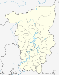
Stary Shagirt (Russian: Старый Шагирт) is a rural locality (a selo) and the administrative center of Shagirtskoye Rural Settlement, Kuyedinsky District, Perm Krai, Russia. The population was 820 as of 2010. There are 14 streets.
Geography
Stary Shagirt is located 30 km west of Kuyeda (the district's administrative centre) by road. Udmurt-Shagirt is the nearest rural locality.
History
The settlement has been known since 1816 as the village of Shagirt. It became a village in 1841, when the Ascension Edinoverie wooden church was built here. In 1933, the Ural state stud farm No. 6 was created in the village, which on May 26, 1960 was transformed into the Uralsky state farm.
Ascension Edinoverie Church burned down in 1880. Instead, in 1883, a new one was built at the expense of parishioners and donations. Closed December 23, 1929.
References
- Карта Куединского района Пермского края
- численность населения городских округов, муниципальных районов, городских и сельских поселений, городских населенных пунктов, сельских населенных пунктов Пермского края по итогам Всероссийской переписи населения 2010 года
- Расстояние от Старого Шагирта до Куеды
- ^ Заводские поселения Пермского края и их историко-культурный ресурс в XIX веке (in Russian). Вестник ЧелГУ. 2011.
| Rural localities in Kuyedinsky District | |||
|---|---|---|---|
This Kuyedinsky District location article is a stub. You can help Misplaced Pages by expanding it. |