  | |
| Geography | |
|---|---|
| Location | Trøndelag, Norway |
| Coordinates | 63°40′25″N 9°04′12″E / 63.6735°N 09.0700°E / 63.6735; 09.0700 |
| Area | 6.4 km (2.5 sq mi) |
| Length | 3.8 km (2.36 mi) |
| Width | 2 km (1.2 mi) |
| Highest elevation | 74 m (243 ft) |
| Highest point | Ørnfjellet |
| Administration | |
| Norway | |
| County | Trøndelag |
| Municipality | Hitra |
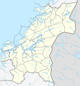
Ulvøya is an island in the municipality of Hitra in Trøndelag county, Norway. The 6.4-square-kilometre (1,600-acre) island is located just north of Fjellværsøya island. The Knarrlagsundet bridge connects the two islands. The island is home to the villages of Knarrlagsund and Ulvan. Marine Harvest has a fish processing plant in Ulvan. The large island of Hitra lies about 3 kilometres (1.9 mi) to the southwest.
See also
References
- Haugen, Morten, ed. (2018-01-03). "Ulvøya – Hitra". Store norske leksikon (in Norwegian). Kunnskapsforlaget. Retrieved 2018-02-15.
This article about an island in Trøndelag is a stub. You can help Misplaced Pages by expanding it. |