This is the current revision of this page, as edited by ChristianSP124 (talk | contribs) at 07:18, 29 December 2024. The present address (URL) is a permanent link to this version.
Revision as of 07:18, 29 December 2024 by ChristianSP124 (talk | contribs)(diff) ← Previous revision | Latest revision (diff) | Newer revision → (diff)| The topic of this article may not meet Misplaced Pages's notability guideline for geographic features. Please help to demonstrate the notability of the topic by citing reliable secondary sources that are independent of the topic and provide significant coverage of it beyond a mere trivial mention. If notability cannot be shown, the article is likely to be merged, redirected, or deleted. Find sources: "Wadi Ghayl" – news · newspapers · books · scholar · JSTOR (December 2024) (Learn how and when to remove this message) |
| Wadi Ghayl وادي غيلWādī Ghayl | |
|---|---|
| Village | |
 | |
| Coordinates: 18°23′37″N 56°34′02″E / 18.39361°N 56.56722°E / 18.39361; 56.56722 | |
| Country | |
| Governorate | Al Wusta Governorate |
| Province | Al Jazer |
| Population | |
| • Total | 165 |
| Time zone | UTC+4 (Oman Standard Time) |
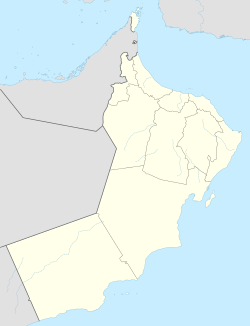
Wadi Ghayl (Arabic: وادي غيل, romanized: Wādī Ghayl) is a village in Al Jazer in the Al Wusta Governorate of Oman, around 3 kilometers from the sea. In 2024, it had a population of 165.
References
- National Geospatial-Intelligence Agency. GeoNames database entry. (search) Accessed 24 Dec 2024.
- "eCensus Portal". ecensus.gov.om. Retrieved 2024-12-24.
This article about the geography of Oman is a stub. You can help Misplaced Pages by expanding it. |
| This article needs additional or more specific categories. Please help out by adding categories to it so that it can be listed with similar articles. (December 2024) |