| Aar | |
|---|---|
 | |
 | |
| Location | |
| Country | Germany |
| State | Hesse |
| Physical characteristics | |
| Mouth | |
| • location | Dill |
| • coordinates | 50°41′52″N 8°18′28″E / 50.6977°N 8.3079°E / 50.6977; 8.3079 |
| Length | 20.6 km (12.8 mi) |
| Basin features | |
| Progression | Dill→ Lahn→ Rhine→ North Sea |
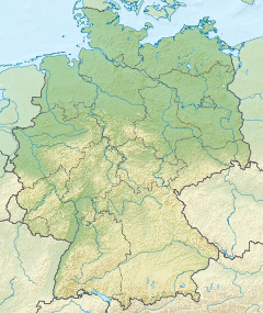
The Aar is a river of Hesse, Germany. It flows for 20.6 kilometres (12.8 mi) into the Dill near Herborn.
Tributaries
The tributaries of the Aar are as follows:
- Brühlsbach (right) - 3.3 km
- Stadterbach (left) - 6.6 km
- Wilsbach (right) - 6.3 km
- Weidbach (right) - 5.9 km
- Meerbach (right) - 5.2 km
- Siegbach (right) - 12.2 km
- Gellenbach (left) - 4.2 km
- Weibach (right) - 6.3 km
- Gettenbach (left) - 3.6 km
- Ballersbach (left) - 3.2 km
- Essenbach (right) - 3.3 km
- Dernbach (left) - 2.7 km
- Monzenbach (right) - 4.5 km
See also
References
- ^ "WRRL Viewer". Water map service of the Hessian Ministry for the Environment, Climate Protection, Agriculture and Consumer Protection. Retrieved 8 July 2020.
This article related to a river in Hesse is a stub. You can help Misplaced Pages by expanding it. |