| Afon Ffraw | |
|---|---|
 Afon Ffraw running near Aberffraw Afon Ffraw running near Aberffraw | |
 | |
| Location | |
| Country | Wales |
| County | Isle of Anglesey |
| Physical characteristics | |
| Source | Llyn Coron |
| • location | Near Llangadwaladr |
| • coordinates | 53°12′15.07″N 4°25′57.74″W / 53.2041861°N 4.4327056°W / 53.2041861; -4.4327056 |
| Mouth | Aberffraw Bay |
| • location | Near Traeth Mawr |
| • coordinates | 53°10′56″N 4°28′00″W / 53.18226°N 4.46664°W / 53.18226; -4.46664 |
| Basin features | |
| Tributaries | |
| • left | Afon Frechwen |
| Bridges | Pont Aberffraw |
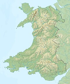
The Afon Ffraw is a short river on the Isle of Anglesey, Wales. It arises at Llyn Coron and flows southwest for two miles along the northwestern margin of Twyn Aberffraw ('Aberffraw dunes') via the village of Aberffraw to Aberffraw Bay on the island's west coast. The river is tidal to a point just northeast of Aberffraw and is accompanied by the Wales Coast Path and Isle of Anglesey Coastal Path. Llyn Coron is fed by the Afon Gwna which rises near to Llangefni in the centre of Anglesey. The flow of the Ffraw is bolstered by the left-bank tributary, the Afon Frechwen and a larger, though unnamed right-bank tributary which rises near Gwalchmai. Pont Aberffraw is a bridge spanning the river constructed as a single stone arch in 1731. When the A4080 main coastal road was diverted onto a new line, the old bridge closed to traffic.
References
- 262 Anglesey West [Gorllewin Ynys Môn] (Map) (A1 ed.). 1:25,000. Explorer. Ordnance Survey. 2005. ISBN 0319236501.
- 262 Anglesey East [Dwyrain Ynys Môn] (Map) (A1 ed.). 1:25,000. Explorer. Ordnance Survey. 2005. ISBN 031923651X.
- "Pont Aberffraw (23722)". Coflein. RCAHMW. Retrieved 29 September 2021.
This Anglesey location article is a stub. You can help Misplaced Pages by expanding it. |
This article related to a river in Wales is a stub. You can help Misplaced Pages by expanding it. |