| Aiguille des Angroniettes | |
|---|---|
   | |
| Highest point | |
| Elevation | 2,885 m (9,465 ft) |
| Prominence | 38 m (125 ft) |
| Coordinates | 45°52′17″N 7°5′38″E / 45.87139°N 7.09389°E / 45.87139; 7.09389 |
| Geography | |
| Location | Valais, Switzerland Aosta Valley, Italy |
| Parent range | Pennine Alps |
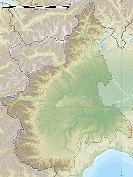
The Aiguille des Angroniettes is a mountain of the Pennine Alps, located on the border between Switzerland and Italy. It lies on the main Alpine watershed, west of the Grand Golliat.
References
- Retrieved from the Swisstopo topographic maps. The key col is located south of the summit at 2,847 metres.
External links
This article about a mountain, mountain range, or peak located in Valais is a stub. You can help Misplaced Pages by expanding it. |
This article about a mountain, mountain range, or peak located in Aosta Valley is a stub. You can help Misplaced Pages by expanding it. |