| This article is an orphan, as no other articles link to it. Please introduce links to this page from related articles; try the Find link tool for suggestions. (January 2022) |
| Altaquer | |
|---|---|
  | |
| Coordinates: 1°14′54.0″N 78°5′33.0″W / 1.248333°N 78.092500°W / 1.248333; -78.092500 | |
| Country | |
| Department | Nariño |
| Municipality | Barbacoas Municipality |
| Elevation | 3,310 ft (1,010 m) |
| Population | |
| • Total | 1,536 |
| Time zone | UTC-5 (Colombia Standard Time) |
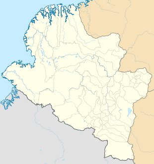
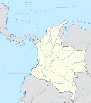
Altaquer is a settlement in Barbacoas Municipality, Nariño Department in Colombia.
Climate
Altaquer has a relatively cool due to elevation and very wet tropical rainforest climate (Af).
| Climate data for Altaquer | |||||||||||||
|---|---|---|---|---|---|---|---|---|---|---|---|---|---|
| Month | Jan | Feb | Mar | Apr | May | Jun | Jul | Aug | Sep | Oct | Nov | Dec | Year |
| Mean daily maximum °C (°F) | 23.5 (74.3) |
23.9 (75.0) |
24.2 (75.6) |
24.3 (75.7) |
24.0 (75.2) |
23.7 (74.7) |
23.8 (74.8) |
23.9 (75.0) |
23.7 (74.7) |
23.6 (74.5) |
23.5 (74.3) |
23.4 (74.1) |
23.8 (74.8) |
| Daily mean °C (°F) | 20.4 (68.7) |
20.6 (69.1) |
20.8 (69.4) |
20.9 (69.6) |
20.8 (69.4) |
20.5 (68.9) |
20.4 (68.7) |
20.4 (68.7) |
20.3 (68.5) |
20.3 (68.5) |
20.2 (68.4) |
20.2 (68.4) |
20.5 (68.9) |
| Mean daily minimum °C (°F) | 17.8 (64.0) |
18.1 (64.6) |
18.2 (64.8) |
18.2 (64.8) |
18.3 (64.9) |
18.0 (64.4) |
17.9 (64.2) |
17.9 (64.2) |
17.9 (64.2) |
18.0 (64.4) |
17.9 (64.2) |
18.0 (64.4) |
18.0 (64.4) |
| Average rainfall mm (inches) | 413.0 (16.26) |
300.1 (11.81) |
393.4 (15.49) |
455.7 (17.94) |
417.1 (16.42) |
330.9 (13.03) |
204.1 (8.04) |
152.7 (6.01) |
222.5 (8.76) |
468.1 (18.43) |
452.1 (17.80) |
495.2 (19.50) |
4,304.9 (169.49) |
| Average rainy days | 28 | 24 | 27 | 27 | 28 | 26 | 23 | 21 | 23 | 28 | 26 | 27 | 308 |
| Average relative humidity (%) | 93 | 93 | 93 | 93 | 94 | 94 | 94 | 94 | 94 | 94 | 94 | 94 | 94 |
| Mean monthly sunshine hours | 52.7 | 53.6 | 62.0 | 72.0 | 71.3 | 69.0 | 86.8 | 83.7 | 60.0 | 55.8 | 51.0 | 46.5 | 764.4 |
| Mean daily sunshine hours | 1.7 | 1.9 | 2.0 | 2.4 | 2.3 | 2.3 | 2.8 | 2.7 | 2.0 | 1.8 | 1.7 | 1.5 | 2.1 |
| Source: | |||||||||||||
References
- "Altaquer (Barbacoas, Nariño, Colombia) - Population Statistics, Charts, Map, Location, Weather and Web Information".
- "Data". www.ideam.gov.co. Retrieved 2020-06-21.
This Colombian location article is a stub. You can help Misplaced Pages by expanding it. |