| Angoulême–Cognac International Airport Aéroport international d'Angoulême-Cognac | |||||||||||
|---|---|---|---|---|---|---|---|---|---|---|---|
 | |||||||||||
| Summary | |||||||||||
| Airport type | Public | ||||||||||
| Operator | CCI d'Angoulême | ||||||||||
| Serves | Angoulême, Charente, Poitou-Charentes, France | ||||||||||
| Location | Champniers | ||||||||||
| Elevation AMSL | 133 m / 436 ft | ||||||||||
| Coordinates | 45°43′44″N 000°13′08″E / 45.72889°N 0.21889°E / 45.72889; 0.21889 | ||||||||||
| Website | Aéroport Angoulême-Cognac | ||||||||||
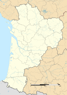
| Map | |||||||||||
 | |||||||||||
| Runways | |||||||||||
| |||||||||||
| Sources: French AIP, WAD | |||||||||||
Angoulême–Cognac International Airport (French: Aéroport international d'Angoulême–Cognac), also known as Angoulême–Brie–Champniers Airport (French: Aéroport d'Angoulême–Brie–Champniers), (IATA: ANG, ICAO: LFBU) is an airport located 15 kilometres (9.3 mi) northeast of Angoulême, between Brie and Champniers, all communes of the Charente département in the Nouvelle-Aquitaine région of France.
Statistics
| Graphs are unavailable due to technical issues. Updates on reimplementing the Graph extension, which will be known as the Chart extension, can be found on Phabricator and on MediaWiki.org. |
References
- ^ LFBU – Angoulême Brie Champniers. AIP from French Service d'information aéronautique, effective 28 November 2024.
- "Airport information for LFBU". World Aero Data. Archived from the original on 2019-03-05.
{{cite web}}: CS1 maint: unfit URL (link) Data current as of October 2006.
External links
- CCI d'Angoulême (in French)
- Aéroport d'Angoulême - Brie Champniers at Union des Aéroports Français (in French)
- Accident history for ANG at Aviation Safety Network
This French airport-related article is a stub. You can help Misplaced Pages by expanding it. |
This Charente geographical article is a stub. You can help Misplaced Pages by expanding it. |