| Beltir Бельтир | |
|---|---|
| Village | |
 | |
  | |
| Coordinates: 49°58′N 88°10′E / 49.967°N 88.167°E / 49.967; 88.167 | |
| Country | Russia |
| Region | Altai Republic |
| District | Kosh-Agachsky District |
| Time zone | UTC+7:00 |
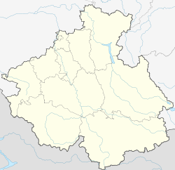
Beltir (Russian: Бельтир; Altay: Белтир, Beltir) is a rural locality (a selo) in Beltirskoye Rural Settlement of Kosh-Agachsky District, the Altai Republic, Russia. The population was 77 as of 2016. There are 10 streets.
Geography
Beltir is located at the confluence of the rivers Chagan and Taldur, 43 km west of Kosh-Agach (the district's administrative centre) by road. Ortolyk is the nearest rural locality.
2003 Altai earthquake
Main article: 2003 Altai earthquakeIn 2003, an earthquake measuring Mw7.3 struck the region, destroying the town.
References
- Село Бельтир (Кызыл-Маны), Республика Алтай
- "Оценка численности постоянного населения Республики Алтай по населённым пунктам за 2012-2016 годы". Archived from the original on 2019-03-04. Retrieved 2018-09-22.
- Карта села Бельтир в Республике Алтае
- Расстояние от Бельтира до Коша-Агача
- Agatova, A. R.; Nepop, R. K. (2008). "The Chuya earthquake of 2003 (SE Altai, Russia) the basis for collaboration among the Science, the Public and the Government" (PDF). Geophysical Research Abstracts. 10.
| Rural localities in Kosh-Agachsky District | ||
|---|---|---|
This Altai Republic location article is a stub. You can help Misplaced Pages by expanding it. |