| Big Laurel Branch Wilderness | |
|---|---|
| IUCN category Ib (wilderness area) | |
  | |
| Location | Carter County, Tennessee |
| Nearest city | Elizabethton, Tennessee |
| Coordinates | 36°21′02″N 82°05′13″W / 36.35056°N 82.08694°W / 36.35056; -82.08694 |
| Area | 6,332 acres (25.62 km) |
| Established | 1986 |
| Governing body | United States Forest Service |
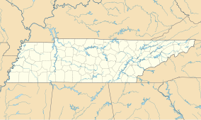
Designated by the United States Congress in 1986, the Big Laurel Branch Wilderness is a 6,332-acre (26 km) wilderness area within Carter County in the U.S. state of Tennessee. The area's elevation is 3,623 feet (1,104 m) above sea level.
References
- Protected Planet Website- Retrieved March 27, 2023
- "Big Laurel Branch Wilderness". wilderness.net. Retrieved 2008-12-22.
- "Big Laurel Branch Wilderness, TN". lat-long.com. Retrieved 2008-12-22.
This article related to a protected area in Tennessee is a stub. You can help Misplaced Pages by expanding it. |
This Carter County, Tennessee geography–related article is a stub. You can help Misplaced Pages by expanding it. |