Human settlement in Scotland
Blairmore
| |
|---|---|
 Blairmore Village Hall and shops. Blairmore Village Hall and shops. | |
 | |
| OS grid reference | NS 19200 82500 |
| Council area |
|
| Lieutenancy area |
|
| Country | Scotland |
| Sovereign state | United Kingdom |
| Post town | DUNOON, ARGYLL |
| Postcode district | PA23 |
| Dialling code | 01369 |
| UK Parliament |
|
| Scottish Parliament |
|
| 56°00′05″N 4°54′04″W / 56.001260°N 4.9009824°W / 56.001260; -4.9009824 | |
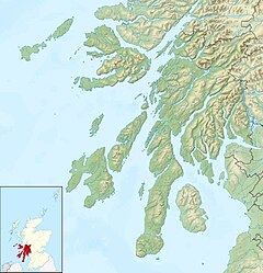
Blairmore is a village located on the Cowal Peninsula, in Argyll and Bute, west of Scotland. Blairmore lies within the Loch Lomond and The Trossachs National Park. It is situated on the western shore of Loch Long and around 1 mile (1.6 km) north of Strone. The village was largely built during the Victorian era and has a small wooden pier which dates to 1855.
Gallery
-
 Blairmore Pier
-
 Paddle steamer Waverley about to leave Blairmore pier
-
 Blairmore Pier
-
 Blairmore Pier - geograph.org.uk - 758676
References
- "Archived copy" (PDF). Archived from the original (PDF) on 14 June 2019. Retrieved 17 January 2017.
{{cite web}}: CS1 maint: archived copy as title (link) - "History of Blairmore in Argyll and Bute | Map and description". Visionofbritain.org.uk. Retrieved 5 April 2012.
- "Blairmore Pier, Near Strone". The Glasgow Herald. 11 July 1855. p. 1. Retrieved 5 April 2012.
External links
- Map sources for Blairmore, Argyll
This Argyll and Bute location article is a stub. You can help Misplaced Pages by expanding it. |