| Blue Canyon–Nyack Airport | |
|---|---|
| Summary | |
| Location | Emigrant Gap, California |
| Coordinates | 39°16′30″N 120°42′35″W / 39.27500°N 120.70972°W / 39.27500; -120.70972 |
| Map | |
 | |
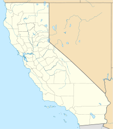
Blue Canyon–Nyack Airport (IATA: BLU, ICAO: KBLU, FAA LID: BLU) is an airport in Emigrant Gap, Placer County, California.
The airport is served by a single asphalt runway, 15/33. The runway is closed and unlighted from sunset to sunrise. The airport, in the Sierra Nevada mountain range, is surrounded by trees and is closed during winter because there are no deicing or snow removal facilities at the airport.
CTAF/MULTICOM: 122.90 MHz
Weather Data Services: (ID)BLU / (Type) WX ASOS / 120.075 MHz
Runway length = 3,300 feet, width = 50 feet
Airport elevation = 5,284.0 feet (1,610.6 meters) (above sea level)
During major fires the airport is used as a helipad.
References
External links
- Resources for this airport:
- FAA airport information for KBLU
- AirNav airport information for KBLU
- FlightAware airport information and live flight tracker
- SkyVector aeronautical chart for KBLU
39°16′30″N 120°42′35″W / 39.27500°N 120.70972°W / 39.27500; -120.70972
This article about a California airport is a stub. You can help Misplaced Pages by expanding it. |