| Bogda Peak | |
|---|---|
 Bogda Peak's view from Air China plane Bogda Peak's view from Air China plane | |
| Highest point | |
| Elevation | 5,445 m (17,864 ft) |
| Prominence | 4,122 m (13,524 ft) Ranked 17th |
| Listing | Ultra |
| Coordinates | 43°48′06″N 88°19′57″E / 43.80167°N 88.33250°E / 43.80167; 88.33250 |
| Geography | |
 | |
| Location | Dabancheng District/Fukang City border, Xinjiang, China |
| Parent range | Bogda Shan, Tien Shan |
| Climbing | |
| First ascent | 1981, by a Japanese team |
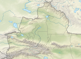
Bogda Peak or Bogda Feng (simplified Chinese: 博格达峰; traditional Chinese: 博格達峰; pinyin: Bógédá fēng, sometimes referred to as Mount Bogda) is the highest mountain in the Bogda Shan range, in the eastern Tian Shan mountains, China, at 5,445 m (17,864 ft) and the northernmost 5,000 m (16,400 ft) or higher peak in Eurasia. Bogda Peak is the 17th most topographically prominent peak on Earth.
Bogda Peak is a challenging climb due to its steep relief. Its sides slope at angles of between 70° and 80°. It was first climbed in 1981 by an 11-person team from Kyoto.
See also
References
- ^ "China II: Sinkiang – Xinjiang". Peaklist.org. Retrieved 2014-05-26.
- "Bogda Feng". summitpost.org. Retrieved 20 September 2011.
External links
- "Bogda Feng, China". Peakbagger.com. Retrieved 19 June 2006.
This Xinjiang location article is a stub. You can help Misplaced Pages by expanding it. |