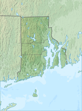
| Burlingame State Park | |
|---|---|
 Watchaug Pond Watchaug Pond | |
 | |
| Location | Charlestown, Rhode Island, United States |
| Coordinates | 41°23′2″N 71°41′28″W / 41.38389°N 71.69111°W / 41.38389; -71.69111 |
| Area | 3,100 acres (13 km) |
| Elevation | 36 ft (11 m) |
| Established | 1930 |
| Named for | Edwin A. Burlingame |
| Administrator | Rhode Island Department of Environmental Management Division of Parks & Recreation |
| Website | Burlingame State Park |
Burlingame State Park is a public recreation area located in the town of Charlestown, Rhode Island. The state park's 3,100 acres (1,300 ha) offer camping, hiking, and water activities on Watchaug Pond. The park's campground abuts the Burlingame Management Area and Kimball Wildlife Sanctuary.
History
Following the lead of the Audubon Society, which in 1927 had established the Kimball Wildlife Sanctuary, a 29-acre (12 ha) property on the southern shore of Watchaug Pond, the State Parks Commission acquired land around the pond beginning in 1930. The park was named for the commission's longtime chair, Edwin A. Burlingame, and opened as a campground in 1934. During the 1930s, it was the primary base of operations for the Rhode Island activities of the Civilian Conservation Corps. The Audubon Society sold Kimball Wildlife Refuge to the Rhode Island Department of Environmental Management in 2015 and it is now part of the park.
Natural features
Mammals observed at the park include deer, rabbits, muskrat, mink, foxes, otters and weasels. Up to 80 bird species nest in the park, and many more pass through during migration season. Reptiles and amphibians include frogs, salamanders, Eastern box turtles and the non-venomous northern water snake.
Activities and amenities
The park features camping, picnicking, swimming, fishing, and a boat-launch ramp. Hiking trails connect the campground and the Kimball Wildlife Sanctuary. The campground's 3,100 acres (1,300 ha) include 713 campsites (including 20 cabins and one shelter), a camp store, freshwater beach, and canoe rentals. The park's northern area along the Pawcatuck River is used primarily for hunting.
References
- ^ "Watchaug Pond". Geographic Names Information System. United States Geological Survey, United States Department of the Interior.
- ^ "Burlingame State Park". Rhode Island Department of Environmental Management. Retrieved January 29, 2023.
- "Burlingame State Campground". Rhode Island Department of Environmental Management. Retrieved January 29, 2023.
- "Kimball Wildlife Sanctuary". Audubon Society of Rhode Island. Archived from the original on February 24, 2015. Retrieved August 22, 2014.
- ^ "Burlingame State Park & Campground History". Rhode Island Department of Environmental Management. Retrieved January 29, 2023.
- "Kimball Wildlife Refuge". Rhode Island Commerce Corporation. Retrieved January 29, 2023.
- "Burlingame State Park: Campground Details". Welcome to RI State Parks. Rhode Island State. Retrieved August 22, 2014.
External links
- Burlingame State Park Rhode Island Department of Environmental Management
- Burlingame State Campground Rhode Island Department of Environmental Management
- Burlingame State Park Picnic Area Rhode Island Department of Environmental Management Division of Parks & Recreation