| Chamlang | |
|---|---|
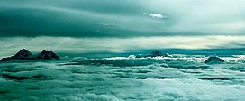
 From left to right: the peaks of Mount Everest and Lhotse, then Makalu, and Chamlang on the right side. From left to right: the peaks of Mount Everest and Lhotse, then Makalu, and Chamlang on the right side. | |
| Highest point | |
| Elevation | 7,319 m (24,012 ft) Ranked 80th |
| Prominence | 1,193 m (3,914 ft) |
| Listing | Mountains of Nepal |
| Coordinates | 27°46′32″N 86°58′47″E / 27.77556°N 86.97972°E / 27.77556; 86.97972 |
| Geography | |
  | |
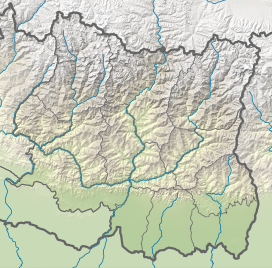
| Location | Nepal |
| Parent range | Mahalangur, Himalayas |
| Climbing | |
| First ascent | 31 May 1962 |
Chamlang is a mountain in the Nepalese Himalayas, near Makalu. It lies in the southern section of the Mahalangur subrange of the Himalayas. Chamlang has an elevation of 7,319 metres (24,012 ft).
In 2021 a new, direct line up the sheer north face was climbed by two French mountain guides, Charles Dubouloz and Benjamin Vedrines. Climbing just as a pair, the route, which they named 'In the Shadow of Lies', took them four days to complete and included ice up to 90°.
See also
References
- ^ "Chamlang, Nepal". Peakbagger.com. Retrieved 2012-01-08.
- "Chamlang". Peakware.com. Archived from the original on 2016-03-04. Retrieved 2012-01-08.
- Seiki Nakano, Academic Alpine Club of Hokkaido (1963). "Asia, Nepal, Chamlang". Climbs and Expeditions. American Alpine Journal. 13: 518–519. Retrieved 14 October 2017.
- Benavides, Angela (19 October 2021). "Interview with Charles Duvouloz: A New Route On Chamlang". Explorersweb. Retrieved 20 October 2021.
External links
![]() Media related to Chamlang at Wikimedia Commons
Media related to Chamlang at Wikimedia Commons
This article related to a mountain or hill in Nepal is a stub. You can help Misplaced Pages by expanding it. |