| Emiliano Zapata | |
|---|---|
| Town | |
| Nickname: Emiliano | |
  | |
| Coordinates: 22°06′19″N 102°18′00″W / 22.10541°N 102.30008°W / 22.10541; -102.30008 | |
| Country | |
| State | Aguascalientes |
| Municipality | Pabellón de Arteaga |
| Elevation | 1,896 m (6,220 ft) |
| Population | |
| • Total | 3,316 |
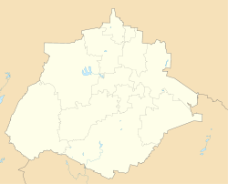
Colonia Emiliano Zapata or simply Emiliano Zapata, is a community in the municipality of Pabellón de Arteaga, it is located in the coordinates 22°06′19″N 102°18′00″W / 22.10541°N 102.30008°W / 22.10541; -102.30008, in the western part of the municipality, it has a population of 3,316 inhabitants during the 2020 Mexico Census.
References
- ^ "EMILIANO ZAPATA". mipueblo.mx (in Spanish). Retrieved 7 May 2022.
- "Emiliano Zapata (Pabellón de Arteaga, Aguascalientes)". pueblosamerica.com. Retrieved 7 May 2022.
This article about a location in the Mexican state of Aguascalientes is a stub. You can help Misplaced Pages by expanding it. |