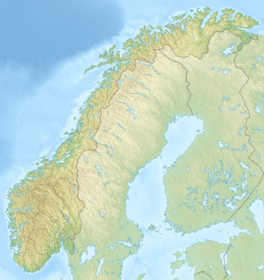
| Fannaråkbreen | |
|---|---|
  | |
| Type | Mountain glacier |
| Location | Vestland, Norway |
| Coordinates | 61°31′21″N 7°55′09″E / 61.5224°N 7.9192°E / 61.5224; 7.9192 |
| Area | 6.2 km (2.4 sq mi) |
Fannaråkbreen is a glacier in the municipality of Luster in Vestland county, Norway. It covers an area of about 6.2-square-kilometre (2.4 sq mi), and consists of three parts. The glacier covers the eastern and northern sides of the mountain of Fannaråki, and is located within the Jotunheimen National Park.
See also
References
- ^ Lauritzen, Per Roger, ed. (2009). "Fannaråkbreen". Norsk Fjelleksikon (in Norwegian). Arendal: Friluftsforlaget. ISBN 978-82-91-49547-7.
- Lauritzen, Per Roger, ed. (2009). "Fannaråken ". Norsk Fjelleksikon (in Norwegian). Arendal: Friluftsforlaget. ISBN 978-82-91-49547-7.
This Vestland location article is a stub. You can help Misplaced Pages by expanding it. |