| Farlane | |||||||||||
|---|---|---|---|---|---|---|---|---|---|---|---|
 Map showing the station stop, located at the north end of Cache Lake with a passing track to the north of the stop. Map showing the station stop, located at the north end of Cache Lake with a passing track to the north of the stop. | |||||||||||
| General information | |||||||||||
| Location | Farlane, ON Canada | ||||||||||
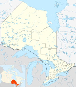
| Coordinates | 50°00′25″N 94°12′01″W / 50.00694°N 94.20028°W / 50.00694; -94.20028 | ||||||||||
| Owned by | Via Rail | ||||||||||
| Construction | |||||||||||
| Structure type | Sign post | ||||||||||
| Services | |||||||||||
| |||||||||||
| Former services | |||||||||||
| |||||||||||
| |||||||||||
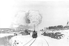
Farlane railway station is located in the community of Farlane in Unorganized Kenora District in northwestern Ontario, Canada. The station is on the Canadian National Railway transcontinental main line and is in use by Via Rail as a stop for transcontinental Canadian trains.

The station was built in the 1920s, mainly to serve recreational cottage community around Farlane and nearby lakes which were only accessible by rail. Located at Mile 113.4 of the Redditt Subdivision of the Canadian National, it was built as a standard Design No. 3 of the National Transcontinental Railway, it was typical of stations intended for remote cottage communities, it contained a waiting room, baggage and an operator's telegraph bay. The station has been unstaffed for many years but received some maintenance from cottagers to serve as a shelter with a bench for train passengers.
References
- "Farlane". Geographical Names Data Base. Natural Resources Canada. Retrieved 2011-07-04.
- Map 13 (PDF) (Map). 1 : 1,600,000. Official road map of Ontario. Ministry of Transportation of Ontario. 2010-01-01. Retrieved 2011-08-15.
- Bruce Ballantyne, Canadian Railway Station Guide, Bytown Railway Society (1998), p. ON-21
- Ron Brown, The Train Doesn't Stop Here Anymore: An Illustrated History of Railway Stations in Canada, Dundurn Press (2008), p. 127
External links
This article about a railway station in Ontario is a stub. You can help Misplaced Pages by expanding it. |
