| Gar Гарь | |
|---|---|
| Village | |
  | |
| Coordinates: 61°55′N 38°47′E / 61.917°N 38.783°E / 61.917; 38.783 | |
| Country | Russia |
| Region | Arkhangelsk Oblast |
| District | Kargopolsky District |
| Time zone | UTC+3:00 |
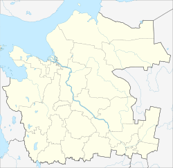
Gar (Russian: Гарь) is a rural locality (a village) in Kargopolsky District, Arkhangelsk Oblast, Russia. The population was 15 as of 2012.
Geography
Gar is located 54 km north of Kargopol (the district's administrative centre) by road. Shiryaikha is the nearest rural locality.
References
- Карта Каргопольского района Архангельской области
- Паспорт муниципального образования "Каргопольский муниципальный район" по состоянию на 1 января 2012 года
- Расстояние от Гаря до Каргополя
This Arkhangelsk Oblast location article is a stub. You can help Misplaced Pages by expanding it. |