| Gunnarstorp | |
|---|---|
  | |
| Coordinates: 56°06′N 12°55′E / 56.100°N 12.917°E / 56.100; 12.917 | |
| Country | Sweden |
| Province | Skåne |
| County | Skåne County |
| Municipality | Bjuv Municipality |
| Area | |
| • Total | 0.42 km (0.16 sq mi) |
| Population | |
| • Total | 401 |
| • Density | 950/km (2,500/sq mi) |
| Time zone | UTC+1 (CET) |
| • Summer (DST) | UTC+2 (CEST) |
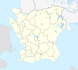
Gunnarstorp (Swedish pronunciation: [ˈɡɵ̂nːaʂˌtɔrp]) was a locality situated in Bjuv Municipality, Skåne County, the southernmost province in Sweden.
There were 401 inhabitants in 2010, up from 360 five years earlier. By 2015 it merged with Bjuv and lost its status as a separate locality.
The town grew up around a mine that was sunk in 1910 and worked between 1913 and 1946.
References
- ^ "Tätorternas landareal, folkmängd och invånare per km 2005 och 2010" (in Swedish). Statistics Sweden. 14 December 2011. Archived from the original on 27 January 2012. Retrieved 10 January 2012.
- Jöran Sahlgren; Gösta Bergman (1979). Svenska ortnamn med uttalsuppgifter (in Swedish). p. 9.
This article about a location in Skåne County, Sweden is a stub. You can help Misplaced Pages by expanding it. |