| Hubbard Glacier | |
|---|---|
| Hubbard Gletscher Hubbard Bræ | |
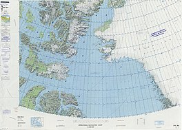
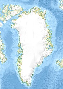
 Map of Northwestern Greenland Map of Northwestern Greenland | |
 | |
| Type | Valley glacier |
| Location | Greenland |
| Coordinates | 77°33′N 67°45′W / 77.550°N 67.750°W / 77.550; -67.750 |
| Width | 3.5 km (2.2 mi) |
| Terminus | Inglefield Fjord Baffin Bay |
| Status | Retreating |
Hubbard Glacier (Danish: Hubbard Gletscher), is a glacier in northwestern Greenland. Administratively it belongs to the Avannaata municipality.
This glacier was named by Robert Peary after Gardiner Greene Hubbard (1822 – 1897), founder and first president of the American Geographical Society.
Geography
The Hubbard Glacier has its terminus in the northern shore of the mid Inglefield Fjord. It discharges from the margins of the Greenland Ice Sheet in Prudhoe Land, flowing roughly from north to south.
In the same manner as most neighboring glaciers, it has retreated by approximately 0.75 km (0.47 mi) in recent years.
 |
Bibliography
- Geological Survey of Denmark and Greenland Map Series 2
- Deeply incised submarine glacial valleys beneath the Greenland ice Archived 2019-08-01 at the Wayback Machine
See also
References
- ^ "The recent regimen of the ice cap margin in North Greenland" (PDF). Archived from the original (PDF) on 2021-06-25. Retrieved 2019-04-09.
- ^ "Hubbard Gletscher". Mapcarta. Retrieved 9 April 2019.
- Robert Neff Keely, Gwilym George Davis, In Arctic Seas: the Voyage of the Kite with the Peary Expedition, 2011 p. 373
External links
- Glacier fluctuations and dynamics around the margin of the Greenland Ice Sheet
- Identifying Spatial Variability in Greenland's Outlet Glacier Response to Ocean Heat
- Recent ice mass loss in northwestern Greenland
This Greenland location article is a stub. You can help Misplaced Pages by expanding it. |