Cadastral in South Australia
| McCallum South Australia | |||||||||||||||
|---|---|---|---|---|---|---|---|---|---|---|---|---|---|---|---|
 Ngarkat Conservation Park Ngarkat Conservation Park | |||||||||||||||
 | |||||||||||||||
| Coordinates | 35°55′34″S 140°39′58″E / 35.926°S 140.666°E / -35.926; 140.666 | ||||||||||||||
| Established | 19 October 1939 | ||||||||||||||
| Area | 360 km (138 sq mi) | ||||||||||||||
| County | Buckingham | ||||||||||||||
| |||||||||||||||
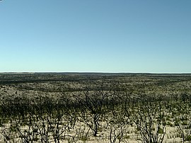
The Hundred of McCallum is a cadastral hundred of the County of Buckingham, centered on the rural locality of McCallum and the Ngarkat area in South Australia. It was proclaimed by Governor Malcolm Barclay-Harvey in 1939 and named for Thomas McCallum, member of the South Australian parliament upper house and pastoral pioneer in the Ngarkat area.
References
- ^ "Placename Details: Hundred of McCallum (Hundred)". Government of South Australia. SA0043738. Archived from the original on 7 December 2015. Retrieved 18 October 2017.
Other Details: Thomas McCallum was a Member of Parliament, a prominent pastoralist and a pioneer of the area in which the Hundred is located. Area 138 square miles.
This South Australia geography article is a stub. You can help Misplaced Pages by expanding it. |