| Il-Lunzjata Valley | |
|---|---|
| Wied Il-Lunzjata | |
 The archway leading to the valley. The archway leading to the valley. | |
  | |
| Floor elevation | 197 ft (60 m) |
| Length | 0.4 km (0.25 mi) South |
| Width | 0.17 km (0.11 mi) West |
| Area | 0.1 km (0.039 sq mi) |
| Geography | |
| Location | Victoria, Gozo, Malta |
| Coordinates | 36°2′21″N 14°13′58″E / 36.03917°N 14.23278°E / 36.03917; 14.23278 |
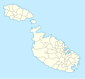
Il-Lunzjata Valley (Maltese: Wied Il-Lunzjata) is an agricultural valley located southwest of Victoria, Gozo. The valley is known for its lush fields and hospitaller-era chapel. Running freshwater is very common on the valley bottom during autumn and spring. This supply of freshwater is commonly put to use for the farming of crops in fields within the valley through a number of channels dug on the ground. The valley is also home to an old fountain that makes use of the freshwater which was restored in 2007. Lunzjata is also considered a Natura 2000 site.
References
- "Il-Lunzjata Valley". VisitGozo. Retrieved 2021-11-21.
- "Lunzjata Valley: discover Gozo's little-known rural haven". www.guidememalta.com. Retrieved 2021-11-21.
- "Il-Wied tal-Lunzjata". Science Fieldwork In Gozo. Retrieved 2021-11-21.
- Azzopardi, George (2020). "Vestiges of material culture at Il-Lunzjata valley and its immediate environs".
{{cite journal}}: Cite journal requires|journal=(help) - "Lunzjata Fountain, Kercem, Gozo | Din l-Art Ħelwa - National Trust of Malta". 2011-10-06. Retrieved 2021-11-21.
- "Lunzjata Valley Gozo". Barbarossa Excursions Gozo, Malta & Comino. 2020-11-30. Retrieved 2021-11-21.