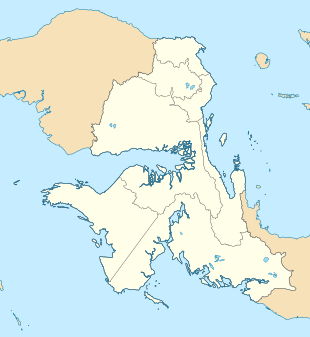
| Imbonggun | |
|---|---|
  | |
| Coordinates: 1°7′23.9″S 133°42′36.1″E / 1.123306°S 133.710028°E / -1.123306; 133.710028 | |
| Country | |
| Province | West Papua |
| Regency | Pegunungan Arfak Regency |
| District | Minyambaouw District |
| Elevation | 6,617 ft (2,017 m) |
| Population | |
| • Total | 205 |
| Time zone | UTC+9 (Indonesia Eastern Standard Time) |
Imbonggun is a village in Minyambaouw district, Pegunungan Arfak Regency in West Papua province, Indonesia. Its population is 103.
Climate
Imbonggun has a subtropical highland climate (Cfb) with heavy rainfall year-round.
| Climate data for Imbonggun | |||||||||||||
|---|---|---|---|---|---|---|---|---|---|---|---|---|---|
| Month | Jan | Feb | Mar | Apr | May | Jun | Jul | Aug | Sep | Oct | Nov | Dec | Year |
| Mean daily maximum °C (°F) | 21.7 (71.1) |
21.7 (71.1) |
21.2 (70.2) |
20.9 (69.6) |
20.3 (68.5) |
19.5 (67.1) |
18.8 (65.8) |
18.7 (65.7) |
19.8 (67.6) |
21.3 (70.3) |
21.7 (71.1) |
21.9 (71.4) |
20.6 (69.1) |
| Daily mean °C (°F) | 17.1 (62.8) |
17.3 (63.1) |
17.1 (62.8) |
16.9 (62.4) |
16.7 (62.1) |
16.2 (61.2) |
15.8 (60.4) |
15.6 (60.1) |
16.1 (61.0) |
17.0 (62.6) |
17.1 (62.8) |
17.3 (63.1) |
16.7 (62.0) |
| Mean daily minimum °C (°F) | 12.6 (54.7) |
12.9 (55.2) |
13.1 (55.6) |
13.0 (55.4) |
13.2 (55.8) |
13.0 (55.4) |
12.8 (55.0) |
12.5 (54.5) |
12.4 (54.3) |
12.7 (54.9) |
12.6 (54.7) |
12.8 (55.0) |
12.8 (55.0) |
| Average rainfall mm (inches) | 273 (10.7) |
283 (11.1) |
266 (10.5) |
291 (11.5) |
302 (11.9) |
284 (11.2) |
265 (10.4) |
254 (10.0) |
237 (9.3) |
219 (8.6) |
222 (8.7) |
268 (10.6) |
3,164 (124.5) |
| Source: Climate-Data.org | |||||||||||||
References
- ^ "Population of Indonesia by Village: Result of 2010 Population Census" (PDF). Statistics Indonesia. Archived from the original (PDF) on 6 April 2013. Retrieved 2020-12-30.
- "Climate: Imbonggun". Climate-Data.org. Retrieved December 31, 2020.