| Kjellströmdalen | |
|---|---|
 The central section of Kjellströmdalen seen from the north from a plane. The central section of Kjellströmdalen seen from the north from a plane. | |
  | |
| Length | 27 km (17 mi) |
| Geography | |
| Coordinates | 77°57′29″N 17°18′43″E / 77.9581°N 17.3120°E / 77.9581; 17.3120 |
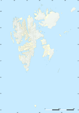
Kjellströmdalen is a valley at Spitsbergen, Svalbard. It has a length of about 27 kilometers, and forms the border between Nordenskiöld Land, Heer Land and Sabine Land. The valley is named after topographer Carl Johan Otto Kjellström.
The valley debouches into Braganzavågen, a bay in the inner part of Van Mijenfjorden.
References
- ^ "Kjellströmdalen (Svalbard)". Norwegian Polar Institute. Retrieved 17 June 2013.
- "Braganzavågen". Norwegian Polar Institute. Retrieved 13 November 2023.
This Spitsbergen location article is a stub. You can help Misplaced Pages by expanding it. |