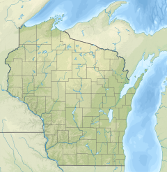
| Kohlsville River | |
|---|---|
  | |
| Location | |
| Country | United States |
| State | Wisconsin |
| Physical characteristics | |
| Source | Near Nabob |
| • coordinates | 43°25′52″N 88°15′53″W / 43.4311102°N 88.264818°W / 43.4311102; -88.264818 |
| Mouth | East Branch Rock River |
| • location | Theresa Marsh |
| • coordinates | 43°28′59″N 88°22′33″W / 43.4830520°N 88.3759317°W / 43.4830520; -88.3759317 |
| • elevation | 932 ft (284 m) |
| Length | 9 mi (14 km) |
| Basin features | |
| Tributaries | |
| • right | Wayne Creek |
The Kohlsville River is a river in eastern Wisconsin that flows through the community of Kohlsville and into the East Branch Rock River. The entirety of the river is located in Washington County.
Progression
The source is near the community of Nabob, in the town of West Bend. The river is dammed in Kohlsville, creating the Kohlsville Millpond. It then flows under Interstate 41 and joins with the East Branch Rock River in the Theresa Marsh.
See also
References
- "Report for Kohlsville River". USGNIS. U.S. Department of the Interior. Retrieved 14 November 2020.
- "Kohlsville Millpond". Wisconsin DNR. Retrieved 14 November 2020.
- "DNR Managed and Other Public Lands" (PDF). Wisconsin DNR. Retrieved 14 November 2020.
This article related to a river in Wisconsin is a stub. You can help Misplaced Pages by expanding it. |