| La Codosera | |
|---|---|
| municipality | |
 Coat of arms Coat of arms | |
 The smallest international bridge in the world The smallest international bridge in the world | |
 | |
| Coordinates: 39°12′31″N 7°10′24″W / 39.20861°N 7.17333°W / 39.20861; -7.17333 | |
| Country | Spain |
| Autonomous community | Extremadura |
| Province | Badajoz |
| Municipality | La Codosera |
| Area | |
| • Total | 69 km (27 sq mi) |
| Elevation | 355 m (1,165 ft) |
| Population | |
| • Total | 2,119 |
| • Density | 31/km (80/sq mi) |
| Time zone | UTC+1 (CET) |
| • Summer (DST) | UTC+2 (CEST) |
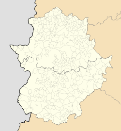
La Codosera (Codossera, in Portuguese) is a municipality located in the province of Badajoz, Extremadura, Spain. According to the 2006 census (INE), the municipality has a population of 2,269 inhabitants. It is located close to the international border with Portugal at the eastern end of the Serra de São Mamede.
The highest point in the municipal term is 596 m high La Lamparona.
It is most commonly known as the seat of the Sanctuary of Chandavila, a popular Catholic pilgrimage shrine, famous for the Marian apparitions of Our Lady of Sorrows said to have occurred in 1945 to Marcelina Barroso Expósito and Afra Brígido Blanco.
Villages
La Codosera includes the following villages within its municipal term:
- El Marco
- La Tojera
- La Rabaza
- Bacoco
References
- Municipal Register of Spain 2018. National Statistics Institute.
- History of La Codosera
- Información Turística del Municipio de La Codosera
External links
 Media related to La Codosera at Wikimedia Commons
39°12′N 7°10′W / 39.200°N 7.167°W / 39.200; -7.167
This article about a place in the Province of Badajoz is a stub. You can help Misplaced Pages by expanding it. |