| Lake Udyl | |
|---|---|
 from space (false color) from space (false color) | |
  | |
| Location | Khabarovsk Krai |
| Coordinates | 52°07′50″N 139°50′29″E / 52.1305556°N 139.8413889°E / 52.1305556; 139.8413889 |
| Basin countries | Russia |
| Surface area | 330 square kilometres (130 sq mi) |
| Max. depth | 5 metres (16 ft) |
| Ramsar Wetland | |
| Official name | Lake Udyl and the mouths of the Bichi, Bitki and Pilda Rivers |
| Designated | 13 September 1994 |
| Reference no. | 687 |
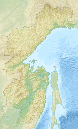
Lake Udyl (Russian: Удыль) is a large freshwater lake in Khabarovsk Krai, Russia. It has an area of 330 square kilometres (130 sq mi). It is 50 miles (80 km) long and 9 kilometres (5.6 mi) wide. Maximum depth is about 5 metres (16 ft). It lies near the left bank of the Amur River.
References
- "Lake Udyl and the mouths of the Bichi, Bitki and Pilda Rivers". Ramsar Sites Information Service. Retrieved 25 April 2018.
This Khabarovsk Krai location article is a stub. You can help Misplaced Pages by expanding it. |