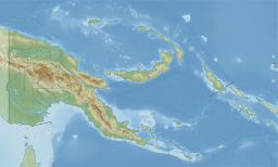
| Lassul Bay | |
|---|---|
 | |
| Coordinates | 4°12′45″S 151°43′27″E / 4.21250°S 151.72417°E / -4.21250; 151.72417 |
| Type | Bay |
| Basin countries | Papua New Guinea |
Lassul Bay is a bay of East New Britain Province, Papua New Guinea, opening into the Bismarck Sea. It is located in the north-western part of New Britain, to the west of Ataliklikun Bay on the Gazelle Peninsula. The communities around Lassul Bay are incorporated into the twenty-one wards of the Lassul-Baining Local-Level Government (LLG) including the settlement of Lassul. The land around the shoreline is swampy and the area has a history of plantation cultivation. The area was invaded in February 1942 by the Japanese during the Battle of Rabaul.
References
- ^ Strang, Veronica; Busse, Mark (1 January 2011). Ownership and Appropriation. Berg. p. 147. ISBN 978-1-84788-840-2. Retrieved 2 November 2011.
- Gamble, Bruce (15 December 2006). Darkest Hour: The True Story of Lark Force at Rabaul – Australia's Worst Military Disaster of World War II. Zenith Imprint. p. 136. ISBN 978-0-7603-2349-6. Retrieved 2 November 2011.
External links
This East New Britain Province geography article is a stub. You can help Misplaced Pages by expanding it. |