Misplaced Pages

List of churches in Helsingør Municipality

Article snapshot taken from Wikipedia with creative commons attribution-sharealike license. Give it a read and then ask your questions in the chat. We can research this topic together.
(Redirected from List of churches in Helsingor Municipality)

Map all coordinates using OpenStreetMap

Download coordinates as:

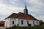
This list of churches in Helsingør Municipality lists church buildings in Helsingør Municipality, Denmark.

Church of Denmark

Name Location Year Coordinates Image Refs
Egebæksvang Church Helsingør 1897 55°59′41.9″N 12°33′39.21″E / 55.994972°N 12.5608917°E / 55.994972; 12.5608917
Gurre Church Gurre 1918 56°01′23.92″N 12°32′23.25″E / 56.0233111°N 12.5397917°E / 56.0233111; 12.5397917
Hellebæk Church Hellebæk
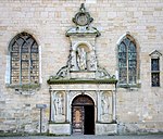
St Mary's Church Helsingør 15th century 56°02′13″N 12°36′48″E / 56.03694°N 12.61333°E / 56.03694; 12.61333
Hornbæk Church Hornbæk 1737 56°05′29.04″N 12°27′30.23″E / 56.0914000°N 12.4583972°E / 56.0914000; 12.4583972
Kronborg Chapel Helsingør 1582 56°02′19.31″N 12°37′19.55″E / 56.0386972°N 12.6220972°E / 56.0386972; 12.6220972
St Mary's Church Helsingør 15th century 56°02′13″N 12°36′48″E / 56.03694°N 12.61333°E / 56.03694; 12.61333
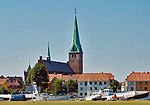
St. Olaf's Church Helsingør 1559 56°02′8.6″N 12°36′51″E / 56.035722°N 12.61417°E / 56.035722; 12.61417
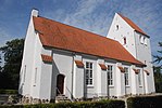
Sthen's Church Helsingør 12th century 55°0′57.4″N 12°06′41.4″E / 55.015944°N 12.111500°E / 55.015944; 12.111500
Tikøb Church Tikøb
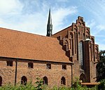
Vestervang Church Vestervang 1966 56°02′00″N 12°35′23″E / 56.03333°N 12.58972°E / 56.03333; 12.58972

Other

Name Location Year Coordinates Image Refs
St. Vincent's Church Helsingør

See also

References

  1. "Helsingør Snact Mariæ Kirke" (in Danish). Retrieved 2014-12-01.
  2. "Helsingør Snact Mariæ Kirke" (in Danish). Retrieved 2014-12-01.
  3. "Helsingør Sthens Kirke Kirke" (in Danish). Retrieved 2014-12-01.
  4. "Tikøb" (in Danish). Retrieved 2014-12-01.
  5. "Vestervang Kirke" (in Danish). Retrieved 2014-12-01.
External links

Categories: