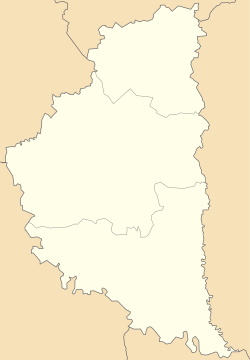
| Luka Лука | |
|---|---|
 | |
| Coordinates: 49°1′3″N 24°59′2″E / 49.01750°N 24.98389°E / 49.01750; 24.98389 | |
| Country | |
| Oblast | Ternopil Oblast |
| Raion | Chortkiv Raion |
| Hromada | Monastyryska urban hromada |
| Time zone | UTC+2 (EET) |
| • Summer (DST) | UTC+3 (EEST) |
| Postal code | 48341 |
Luka (Ukrainian: Лука) is a village in Monastyryska urban hromada, Chortkiv Raion, Ternopil Oblast, Ukraine.
History
It was first mentioned in writings in 1417.
After the liquidation of the Monastyryska Raion on 19 July 2020, the village became part of the Chortkiv Raion.
Religion
- St. Nicholas church (1927, wooden).
References
- Монастириська територіальна громада, Децентралізація
- ^ (in Ukrainian) Уніят В., Федечко І., Лука // Ternopil region. History of cities and villages: in 3 v. / Ternopil: "Terno-graph", 2014, V. 3: М—Ш, S. 67—68. — ISBN 978-966-457-246-7.
- Постанова Верховної Ради України від 17 липня 2020 року № 807-IX "Про утворення та ліквідацію районів"
Sources
- (in Ukrainian) Товстенюк О., Ханас В., Лука // Ternopil Encyclopedic Dictionary: in 4 v. / editorial board: H. Yavorskyi and other, Ternopil: "Zbruch", 2005, V. 2: К—О, S. 400. — ISBN 966-528-199-2.
- "Łuka 1.) wś w pow. buczackim". Geographical Dictionary of the Kingdom of Poland (in Polish). 5. Warszawa: Kasa im. Józefa Mianowskiego. 1884. p. 807—808.
This article about a location in Ternopil Oblast is a stub. You can help Misplaced Pages by expanding it. |