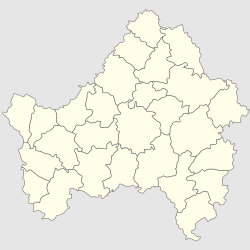
| Malaya Topal Малая Топаль | |
|---|---|
| Selo | |
  | |
| Coordinates: 52°32′N 32°19′E / 52.533°N 32.317°E / 52.533; 32.317 | |
| Country | Russia |
| Region | Bryansk Oblast |
| District | Klintsovsky District |
| Time zone | UTC+3:00 |
Malaya Topal (Russian: Малая Топаль) is a rural locality (a selo) in Klintsovsky District, Bryansk Oblast, Russia. The population was 404 as of 2013. There are 3 streets.
Geography
Malaya Topal is located 31 km south of Klintsy (the district's administrative centre) by road. Drovoseki is the nearest rural locality.
References
- Карта Клинцовского района Брянской области
- Численность населения Брянской области по муниципальным образованиям в разрезе населённых пунктов на 1 января 2013 года. Брянскстат. 2013. 90 стр.
- Расстояние от Малой Топаля до Клинцов
| Rural localities in Klintsovsky District | |||
|---|---|---|---|
This Bryansk Oblast location article is a stub. You can help Misplaced Pages by expanding it. |