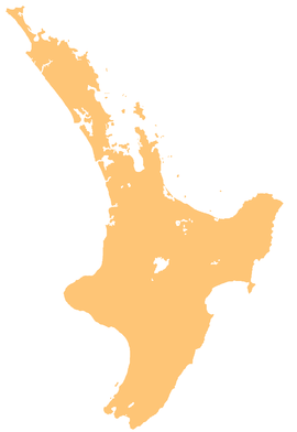
River in New Zealand
| Mangaaruhe River | |
|---|---|
| Route of the Mangaaruhe River | |
  | |
| Location | |
| Country | New Zealand |
| Physical characteristics | |
| Source | Ngamoko Range |
| • coordinates | 38°45′42″S 177°10′38″E / 38.7617°S 177.1773°E / -38.7617; 177.1773 |
| Mouth | |
| • location | Wairoa River |
| • coordinates | 38°54′10″S 177°26′20″E / 38.90276°S 177.43895°E / -38.90276; 177.43895 |
| Length | 31 km (19 mi) |
| Basin features | |
| Progression | Mangaaruhe River → Wairoa River → Hawke Bay → Pacific Ocean |
| Tributaries | |
| • left | Poinga Stream, Mangatawhiti Stream, Wairenga Stream |
| • right | Patatanga Stream, Oruatipoki Stream, Mangapouri Stream, Mangakapua Stream |
The Mangaaruhe River is a river of the Hawke's Bay Region of New Zealand's North Island. It flows southeast from the Ngamoko Range southwest of Lake Waikaremoana, flowing into the Wairoa River eight kilometres north of Frasertown.
See also
References
- "Place name detail: Mangaaruhe River". New Zealand Gazetteer. New Zealand Geographic Board. Retrieved 21 April 2010.
| Te Urewera, New Zealand | |
|---|---|
| Lakes | |
| Waterfalls | |
| Rivers | |
| Mountains and ranges | |
| Walking tracks | |
| Surrounding settlements | |
| Other | |
This article about a river in the Hawke's Bay Region is a stub. You can help Misplaced Pages by expanding it. |