| Gunung Mekongga | |
|---|---|
 | |
| Highest point | |
| Elevation | 2,650 m (8,690 ft) |
| Prominence | 2,221 m (7,287 ft) |
| Listing | Ultra Ribu |
| Geography | |
| Location | Sulawesi, Indonesia |
| Climbing | |
| Easiest route | Long hike |
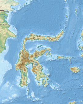
The Mekongga Mountains (Pegunungan Mekongga, Bingkoka Mountains) are a range of mountains on the island of Sulawesi (Celebes), in Indonesia. Running north-west–southeast, on the western side of the southeast peninsula of the island, they are parallel to and west of the Tanggeasinua Range and lie in the province of Southeast Sulawesi. The mountain, Gunung Mekongga, is the highest point at 2,650 metres (8,694 ft).
Notes and references
- ^ "World Ribus" WorldRibus.org. Retrieved 2024-12-21.
- Bingkoka Mountains (Variant - V) at GEOnet Names Server, United States National Geospatial-Intelligence Agency
- Pegunungan Mekongga (Approved - N) at GEOnet Names Server, United States National Geospatial-Intelligence Agency
- Kendari, Indonesia, SA 51-14, Series T503 (Map) (first ed.). 1:250,000. United States Army Map Service. 1965.
- TPC M-12 AG, Indonesia (Map) (first ed.). 1:500,000. Director of Military Survey, Ministry of Defence, United Kingdom. 1972.
- "Mekongga Mountains". Encyclopædia Britannica. Archived from the original on 2 April 2015.
03°41′27″S 121°17′52″E / 3.69083°S 121.29778°E / -3.69083; 121.29778
This Southeast Sulawesi location article is a stub. You can help Misplaced Pages by expanding it. |