| This article does not cite any sources. Please help improve this article by adding citations to reliable sources. Unsourced material may be challenged and removed. Find sources: "Mount Giles" – news · newspapers · books · scholar · JSTOR (February 2023) (Learn how and when to remove this message) |
Not to be confused with Mount Giles (Antarctica).
| Mount Giles | |
|---|---|
 Mount Giles from the opposite side of Ormiston Pound in the south Mount Giles from the opposite side of Ormiston Pound in the south | |
| Highest point | |
| Elevation | 1,389 m (4,557 ft)AHD |
| Coordinates | 23°37′44″S 132°51′42″E / 23.628798°S 132.861614°E / -23.628798; 132.861614 |
| Geography | |
 | |
| Location | Northern Territory, Australia |
| Parent range | MacDonnell Ranges |
| Climbing | |
| Easiest route | Larapinta Trail |
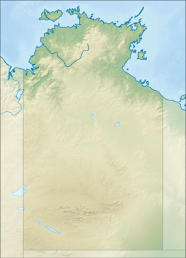
Mount Giles is one of the highest mountains in the Northern Territory, Australia, at 1,389 metres (4,557 ft) AHD. It lies along the MacDonnell Ranges, dominating Ormiston Pound, in the West MacDonnell National Park, approximately 80 kilometres (50 mi) west of Alice Springs. It can be visited via the celebrated Larapinta Trail and has views of Mount Sonder, Ormiston Gorge and Pound, and the surrounding range.
See also
References
External links
This Northern Territory geography article is a stub. You can help Misplaced Pages by expanding it. |