| Mount Mayabobo | |
|---|---|
  | |
| Highest point | |
| Elevation | 300 m (980 ft) |
| Coordinates | 13°59′N 121°27′E / 13.983°N 121.450°E / 13.983; 121.450 |
| Geography | |
| Country | Philippines |
| Region | Calabarzon |
| Province | Quezon |
| City/municipality | Candelaria |
| Geology | |
| Mountain type | Cinder cone |
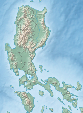
Mount Mayabobo is a cinder cone situated at the base of Mount Banahaw, in Barangay Mayabobo, Candelaria, Quezon in Luzon island, Philippines. Approximately with a height of 300 metres (980 ft), it is a tourist destination for local residents of Candelaria and nearby municipalities, since it has a telecommunication site at its summit for sight-seeing and hiking.
Sources
This article about a location in Calabarzon region is a stub. You can help Misplaced Pages by expanding it. |