| Mud River | |
|---|---|
 | |
| Location | |
| Country | United States |
| State | Georgia |
| Physical characteristics | |
| Source | |
| • location | Georgia |
| Mouth | |
| • location | Atlantic Ocean |
| • coordinates | 31°32′07″N 81°14′31″W / 31.53522°N 81.24204°W / 31.53522; -81.24204 |
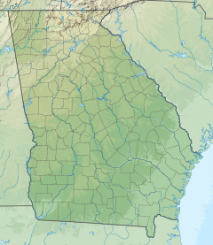
The Mud River is a 6.4-mile-long (10.3 km) tidal arm of the Sapelo River in McIntosh County, Georgia, in the United States. It forms the northern part of the channel separating Sapelo Island from the mainland.
See also
References
- U.S. Geological Survey. National Hydrography Dataset high-resolution flowline data. The National Map, accessed April 26, 2011
- U.S. Geological Survey Geographic Names Information System: Mud River
- USGS Hydrologic Unit Map - State of Georgia (1974)
This article related to a river in the US state of Georgia is a stub. You can help Misplaced Pages by expanding it. |