| This article needs additional citations for verification. Please help improve this article by adding citations to reliable sources. Unsourced material may be challenged and removed. Find sources: "Mussard cave" – news · newspapers · books · scholar · JSTOR (August 2016) (Learn how and when to remove this message) |
| Mussard cave | |
|---|---|
| Caverne Mussard | |
 | |
| Location | La Réunion |
| Coordinates | 21°05′42″S 55°30′42″E / 21.095°S 55.511528°E / -21.095; 55.511528 |
| Elevation | 2,157 m (7,077 ft) |
| Discovery | 18th century (Maroon) |
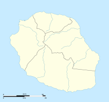
The Mussard cave (French: Caverne Mussard) is a mountain cave on the island of Réunion. Located about 2150 meters above sea level in the heart of the Piton des Neiges (Mountain range) [fr], it falls within the municipality of Saint-Benoit. It is named after the slave hunter François Mussard [fr], who have killed and captured a lot of Maroons in the mid eighteenth century.
Notes and references
- http://www.hikr.org/dir/Caverne_Mussard_48971/ Website for Hiking Reports Caverne Mussard
- Patrick Beaton, Six Months in Reunion: A Clergyman's Holiday, and how He Passed it , Hurst and Blackett, 1860, p293.
This Réunion location article is a stub. You can help Misplaced Pages by expanding it. |